Golf Course Aerial Photography
Generate aerial views of every hole on your course for websites, yardage books, and marketing materials. Show golfers what makes your course special—without the drone.
The Challenge
Golf courses need comprehensive aerial photography for marketing, yardage guides, and website galleries. Hiring drone photographers to shoot all 18 holes costs $2,000-5,000 and requires multiple days of perfect weather.
The Solution
GenAerial generates professional aerial views of every hole, tee box, green, and hazard on your course. Create a complete visual library in hours—not days—for a fraction of traditional photography costs.
Why Professionals Choose GenAerial
Transform your events & hospitality workflow with instant, professional aerial imagery
Showcase Course Design
Aerial views reveal your course's character—strategic bunkering, elevation changes, water features, and landscaping. Help golfers appreciate the architecture before they arrive.
Complete Marketing Gallery
Feature all 18 holes on your website, social media, and promotional materials. Let visitors virtually 'play through' your course, building excitement about booking.
Attract Tournament Business
Event coordinators choose courses with professional presentation. Aerial flyover views and hole-by-hole galleries demonstrate course quality and help organizers plan events.
Enhance Member Experience
Members appreciate aerial yardage guides and course maps. Include aerials in member apps, scorecards, and course guides to add value to memberships.
How It Works
Three simple steps to professional aerial photography
Map Your Course Coordinates
Identify GPS coordinates for each tee box, green, and key features. Create a systematic list covering all 18 holes.
Generate Hole-by-Hole Aerials
Create aerial views from multiple angles for each hole—tee box perspective, overhead strategic view, and approach to green. Choose lighting that shows your course at its best.
Deploy Across Marketing
Build course preview galleries on your website, create yardage guides, update social media, and include in tournament packages and membership materials.
Example Applications
See how GenAerial could transform your events & hospitality workflow
Public Course Website Refresh
A municipal course wants to update their dated website with professional imagery but doesn't have the budget for a full drone photography shoot
Generate golden hour aerials of all 18 holes showing mature trees, water features, and well-maintained conditions
Complete website gallery featuring every hole, giving the course a premium presentation that competes with private clubs
Tournament Pitch Package
A resort course wants to attract corporate golf tournaments but has limited aerial photography to show event coordinators
Create comprehensive aerial coverage of all 18 holes plus clubhouse approach, practice facilities, and signature features
Professional pitch package that demonstrates course quality and helps planners visualize their event layout
Digital Yardage Guide
A private club wants to create a modern digital yardage guide app for members but lacks overhead imagery of each hole
Generate top-down strategic views of all holes showing bunker placement, green contours, and optimal landing zones
Complete hole-by-hole imagery for the app, giving members a premium digital experience with their membership
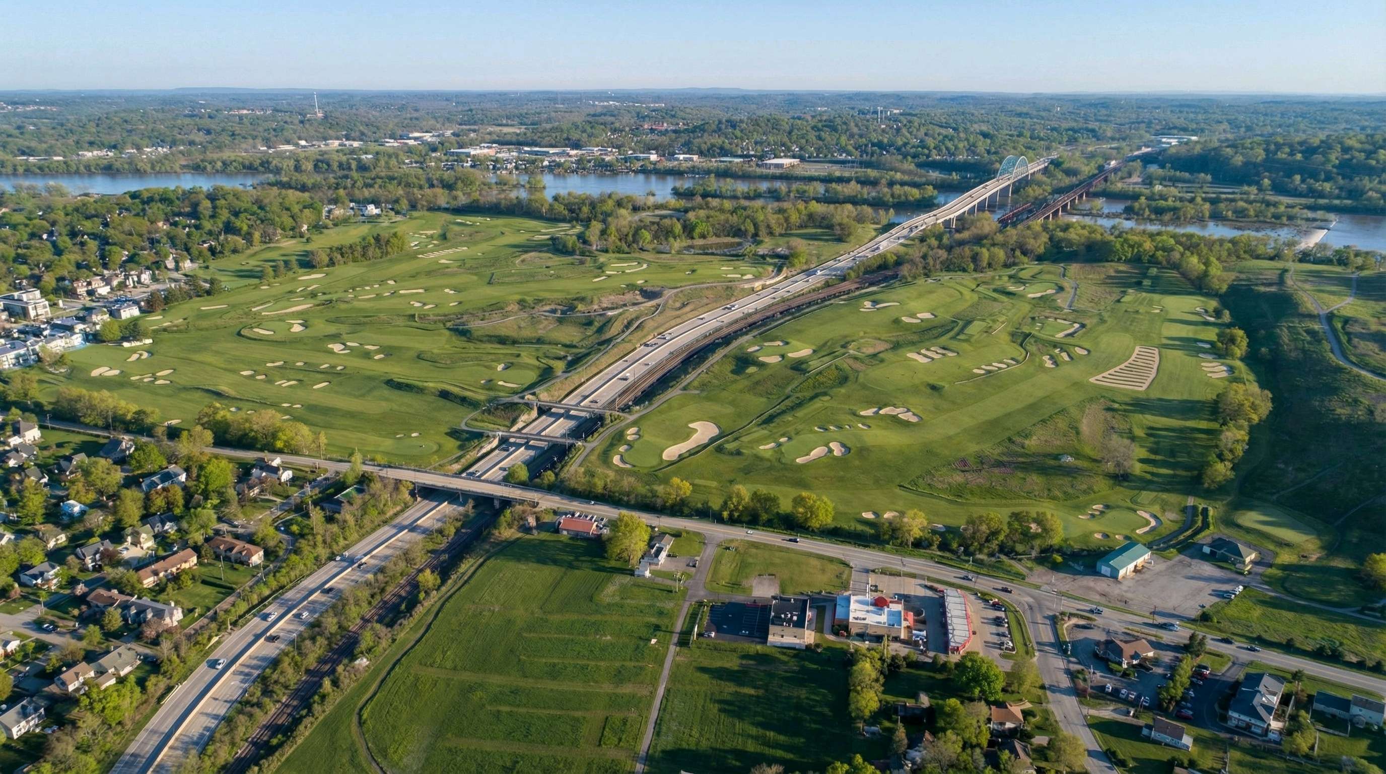
Visual Examples
High-resolution generation quality suitable for professional use
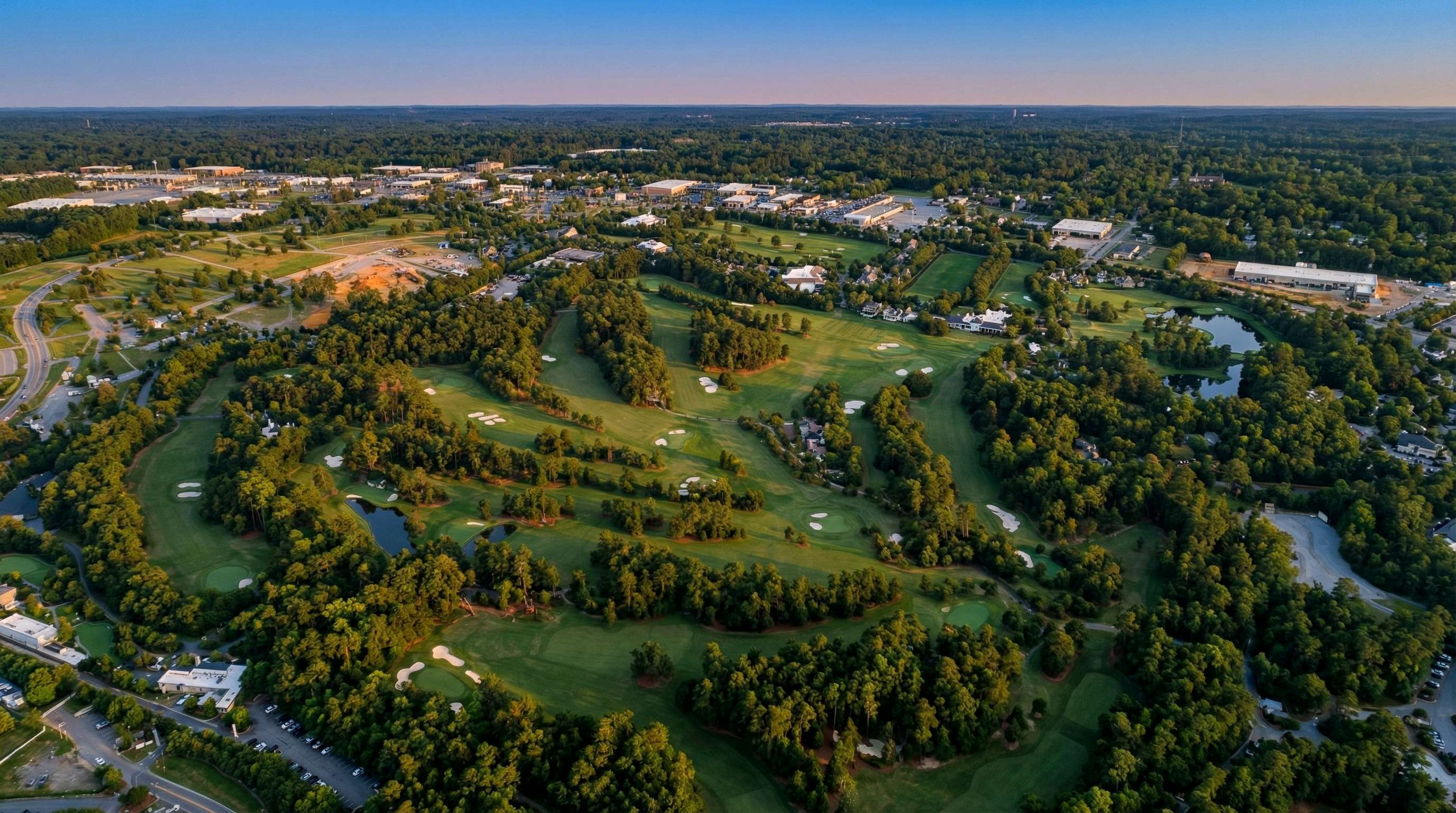
Oakmont Country Club - 100% AI Generated
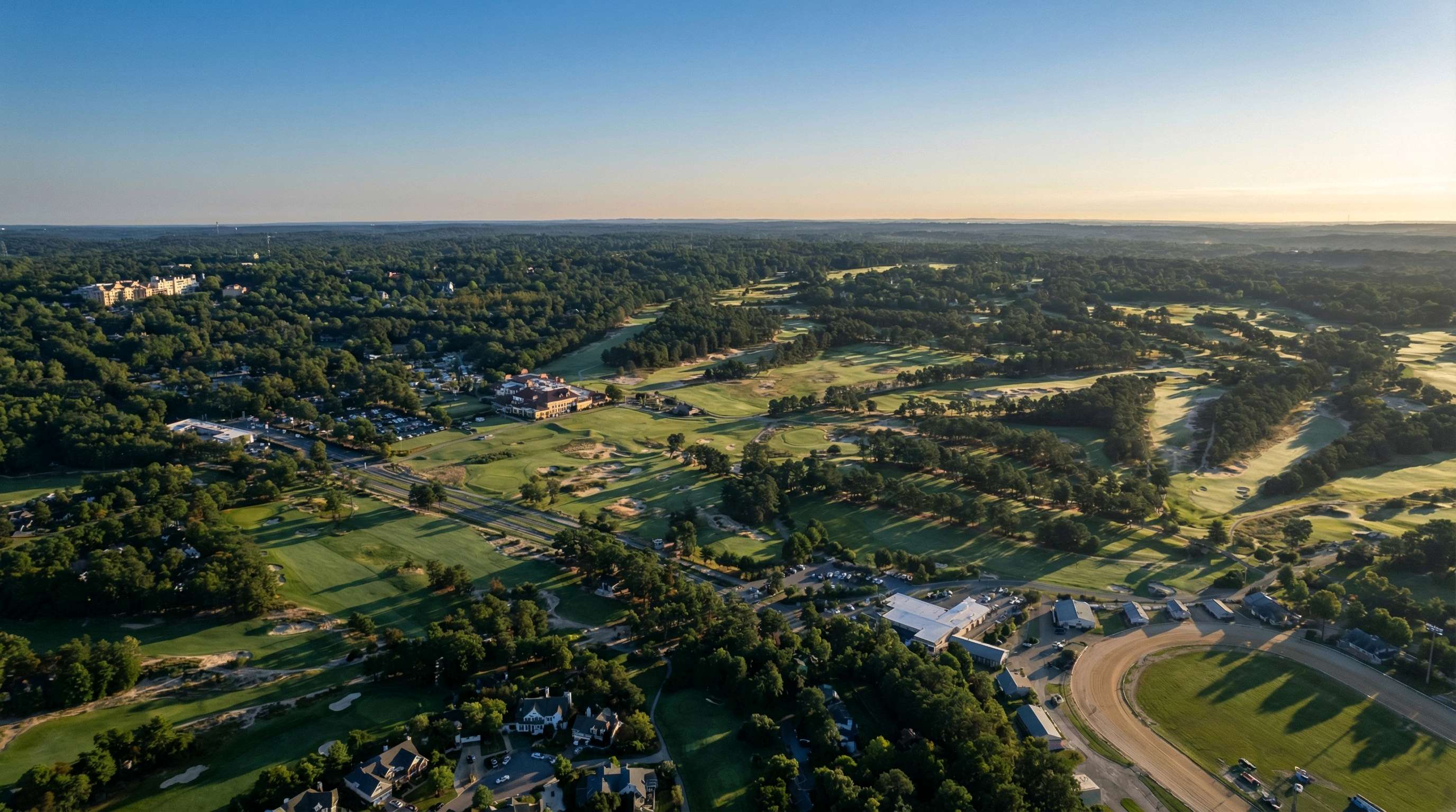
Pinehurst No. 2 - 100% AI Generated
Everything You Need
Professional features for events & hospitality
Frequently Asked Questions
Can we use these images in printed yardage books?
Yes. Many courses include aerial views in yardage guides to show hole layout, hazard placement, and strategic options. Players appreciate the overhead perspective for course management and club selection.
What if we renovate bunkers or greens?
You can regenerate aerials after renovations to show off improvements immediately. Traditional aerial photography might require waiting months for ideal weather; GenAerial lets you update marketing materials as soon as work is complete.
How do these work for courses with significant elevation changes?
Aerials are excellent for showing elevation that golfers can't see from ground level. The overhead perspective reveals slopes, tiers in greens, and uphill/downhill holes that ground-level photos don't convey.
Should we still hire a photographer for signature holes?
Many courses use both—GenAerial for comprehensive hole-by-hole coverage and traditional photography for hero shots of 3-5 signature holes. This hybrid approach maximizes value while minimizing cost.
Showcase Every Hole from Above
Create a complete aerial gallery of your course in one afternoon